
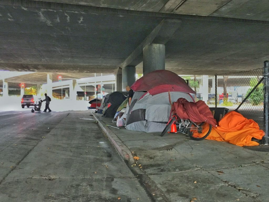
Social vulnerability analysis studies which areas and groups would be most impacted by natural disasters or hazardous events. It often includes demographic, socioeconomic, and cultural characteristics. A recent study by Drs. Edwin Chow and Ron Hagelman, professors in the Department of Geography, and their colleagues, measured another important variable – homelessness.
Two to three million homeless individuals are estimated to live across the country. In addition, the United States has undergone major population growth and changes in economic conditions, development patterns, and social characteristics that have impacted people’s living conditions and locations.
“The Impact of Homelessness in Social Vulnerability Assessment: A Case Study of Austin, Texas”–published in Social and Economic Geography—examined the impact of homelessness by using geographic information systems (GIS) to conduct vulnerability analyses of Austin.
They visualized spatial patterns and distribution of Austin’s homeless population to identify insights about homelessness that other vulnerability analyses overlooked.
Adding homelessness to the mix revealed that some parts of Austin overlooked by previous studies were vulnerable. East Austin remained a prominent vulnerable area. However, West Austin and Downtown Austin were also vulnerable areas and would require “targeted disaster planning.” Planning would ensure that residents of all kinds have the resources they need when faced with a disaster.
The team recommended that future studies include homelessness to create a “more socially significant and realistic interpretation” of social vulnerability’s spatial distribution. More sensitive analyses of homeless populations would aid would give us more information to help us care for the less fortunate in times of crisis.